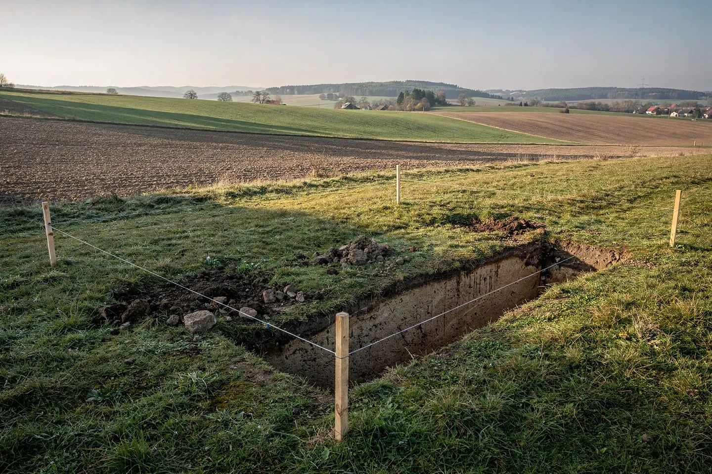
The plot decides the house before anyone starts drawing
A house can be made smaller, its materials swapped, its layout redrawn. A plot cannot be turned to face south, or retrofitted onto a sewer that does not exist in the street. Over the years I have seen more projects fail on the plot than on the budget, and the pattern is always the same: a problem that two phone calls before signing would have revealed for free costs tens of thousands of euros once the contract is signed.
Since 1 April 2025 Slovakia has been operating under the new building act (no. 25/2025 Coll.) together with the spatial planning act (no. 200/2022 Coll.). Neither changed the logic of choosing a plot: what gets built is decided first by the municipal zoning plan, then by the land registry and the physical facts on site, and only last by what you had in mind. This article is the full plot check, the due diligence in the order I run it with clients.
The zoning plan: what the plot actually permits
The first document I open is neither the listing nor the title deed, but the municipal zoning plan. Its binding part is issued as a municipal ordinance and settles two things at once: the functional use of the area (housing, recreation, production, greenery) and the spatial regulations, meaning how large and how tall a house may stand there. The phrase „building plot“ in an advertisement is a marketing term, not a legal status. Cheap plots outside the built-up area are cheap precisely because they lack that status, and amending a zoning plan is the municipality's process: it takes months to years and nobody guarantees the outcome.
On request the municipality issues zoning information summarising the regulations for a specific parcel. Always ask for it in writing and quote the cadastral parcel number, not the street address. Smaller municipalities need not have a zoning plan at all, which looks like freedom but means decisions without a clear framework and more room for neighbours to object.
The regulations that decide the size of the house
Spatial regulations look like administrative detail, yet they are what determines whether the house you imagine fits at all. I look above all at the building coverage ratio, the required proportion of greenery, the maximum number of above-ground storeys, the roof shape and pitch, the street building line, and the prescribed setbacks. On a narrow plot it is the setbacks that turn ten metres of width into a six-metre house. Testing the massing of the house against the regulations before purchase is the cheapest insurance in the entire process.
The legal check: how to read a title deed
The second step is the land registry. A Slovak title deed has three parts and each answers a different question. Part A describes the land itself: parcel number, area, land type and manner of use. Part B says who owns it and in what share. Part C lists encumbrances: easements, mortgages, pre-emption rights. That is where the reason for a suspiciously cheap plot usually hides.
An easement in favour of a utility operator means a pipe or cable across the plot and no building along its route; one in favour of a neighbour means a right of passage across your future garden. Co-ownership split among ten heirs means you need every signature to buy, and a pending-entry marker means a change already in progress and not yet registered.
The land type deserves particular attention. Arable land or permanent grassland must be withdrawn from the agricultural land fund before building, and the levy follows soil quality under the soil-ecological unit code: it is high for the best soils, whose withdrawal is additionally restricted. Watch out too for parcels recorded in the older register E, whose boundaries frequently do not exist physically on the ground.
| What to verify | Where to find it | What it decides |
|---|---|---|
| Functional use and spatial regulations | Municipal zoning plan, written zoning information | Whether a house may stand there, and how big |
| Ownership, shares, encumbrances | Title deed, cadastral portal | Whether anyone can legally sell it to you, and under what limits |
| Real boundaries and area | Surveyor, cadastral map, setting out on site | Whether a neighbour's fence stands on your land |
| Protection zones | Operators' statements, municipality, state map portals | Which part of the plot is effectively unbuildable |
| Utility availability and capacity | Written statements from the operators | The cost of connections and when building can start |
| Ground conditions and radon | Geotechnical and radon survey | The type of foundation and whether radon protection is needed |
| Legally secured access | Title deed of the access parcel, road administrator | Whether you can legally reach the plot by car and by machinery |
Protection zones and limits the title deed will not show you
This is the most treacherous part of the check, because many restrictions are not recorded anywhere you would naturally look. A protection zone arises directly from statute and applies whether or not you know about it. A plot adjoining forest carries a forest protection zone reaching as a rule fifty metres from the forest land boundary, inside which building requires the consent of the state forestry authority. On a small parcel that means no building at all.
Other zones work the same way. Road protection zones outside a municipality's built-up area extend tens of metres from the carriageway edge and widen with the class of road. Overhead high-voltage lines have a zone on both sides of the outermost conductor, gas pipelines according to pressure level, water mains and sewers according to pipe diameter. Add the sanitary protection zones of water sources, flood risk areas, protected natural areas, heritage zones and archaeological sites. None of them is automatically a prohibition, but each one means another statement, more time, and sometimes conditions that reshape the design. So do not rely on the seller: request the statements directly from the operators and the municipality. They are the only documents the building office will later rely on.
Utilities: what a missing connection really costs
The question is not whether utility connections exist in the street, but whether they have spare capacity and where your route will run. The electricity distribution operator issues a statement on the connection point and reserved capacity. If the local transformer station is loaded, connection may be conditional on reinforcing it, which is a different order of cost and time than pulling a cable from the plot boundary. Connection cost rises with the length of the route, the number of third-party parcels it must cross, and whether a road has to be dug up. A connection crossing a neighbour's parcel needs an easement registered in the cadastre, not a verbal agreement, and cutting through a local road needs the road administrator's permit and reinstatement of the surface to a prescribed standard.
| Utility | What to verify before buying | What drives the cost up most |
|---|---|---|
| Electricity | Connection point, reserved capacity, need to reinforce the transformer station | A loaded network, a long route, a new connection cabinet |
| Water | Public main, pressure conditions, meter chamber | Road excavation, distance to the main, a fallback private well with survey |
| Sewerage | Public sewer in the street and any duty to connect | A holding tank with regular emptying, or a treatment plant with infiltration |
| Gas | A main in the street and the operator's appetite for new connections | No main at all, forcing a change of heating concept |
| Rainwater | The municipality's duty to retain rainfall on the plot | Impermeable subsoil and larger retention volumes |
If there is no sewer in the street, the answer is a holding tank or a domestic treatment plant, which additionally needs somewhere to infiltrate the treated water. The subsoil may not allow it.
Ground conditions: when a survey is optional and when it is not
A geotechnical survey is not a statutory duty for every house, but there are situations where skipping it is gambling: sloping terrain, proximity to a watercourse, plots with made ground, houses with a basement, neighbours complaining about damp, and any suspicion of a landslide-prone area. The survey answers the three questions that govern the cost of the substructure: what the bearing capacity of the ground is, where the groundwater table sits, and whether the layers below the surface are uniform. A borehole and a report cost a fraction of the deepened or reinforced foundation, drainage and tanked waterproofing that have to be designed in after water appears in the excavation.

Radon is a separate chapter: a radon survey measures radon activity in the soil gas, and medium or high risk calls for protective measures. The reference level for indoor living spaces under radiation protection rules is 300 becquerels per cubic metre, and meeting it preventively in the design is cheaper than retrofitting a finished house.
Orientation, slope and the shape of the plot
Only now do we reach what the eye can see. The ideal is not a „house facing south“ but a plot that lets you open the living areas to the south and south-west while placing the entrance and service rooms to the north. Equally important is what shades the plot: a neighbour's house, tall forest or a slope above you can take away winter sun exactly when you need it most.
| Plot situation | What it offers | What to watch for |
|---|---|---|
| Flat, south-facing | Simplest foundations, good solar gain | Summer overheating, need for shading |
| South-facing slope | Views, drainage, a storey set into the slope | Higher cost of earthworks and retaining structures |
| North-facing slope | Less overheating, often a lower price | Little winter sun, snow lying longer, higher heat demand |
| Narrow parcel in a street terrace | Utilities and road usually at the boundary | Setbacks eat the usable width, little daylight from the sides |
| Large parcel outside the built-up area | Privacy and space | Missing building-land status, expensive utilities and access |
On slope there is a rule from practice: a gentle fall is an advantage, because it drains water, but as the gradient grows the cost of excavation, retaining walls and slope stabilisation grows faster than proportionally, and a house on a sloped site almost always needs an individual design. The shape of the parcel is the third variable: a plot with ample area but poor proportions can end up with a smaller usable core, once setbacks are deducted, than a smaller well-proportioned one.
Access: road, entrance and room for machinery
A plot without legally secured access from a public road is not a building plot, however well it scores on everything else. Where access runs across someone else's land it must be secured by a right of passage easement registered in the cadastre: an agreement with the neighbour lasts exactly until the neighbour sells. Connecting a driveway to the road needs the consent of the road administrator and the road authority.
Check who owns and maintains the access road as well: a private road means negotiating winter maintenance, repairs and excavation consents with neighbours rather than with the municipality. And finally a prosaic point: a concrete mixer, a delivery trailer and sometimes a crane have to reach the plot. A tight bend before the entrance can add more to the build cost than a missing gas connection.
The traps that turn a cheap plot into an expensive one
- Land outside the built-up area. The low price per square metre is paid for with a status you cannot change on your own, plus the cost of utilities and access.
- Access „through the neighbour“ with nothing registered. The most common reason a beautiful plot sits unbuilt for years.
- Large area, small core. Once protection zones and setbacks are deducted, what remains fits a garage, not a house.
- A corridor reserved in the zoning plan. A planned road diversion sterilises exactly the part of the plot you wanted to build on.
- Co-ownership and unfinished probate. A sale can be arranged, but it takes time.
- A developer parcel with utilities promised. Verify whether the connections are built and handed over, or merely scheduled.
How to proceed in practice
- Read the municipal zoning plan and request written zoning information for the specific parcel.
- Download the title deed and cadastral map, go through part C line by line, and have the boundaries set out by a surveyor.
- Request statements from the utility operators on the connection point and capacity, not merely confirmation that the network „is in the street“.
- Walk the plot yourself, ideally after rain and in winter, watching for water, shade and noise.
- Test the massing of the house with an architect against the regulations, and only then sign, with a condition precedent.
Summary
A good plot is neither the cheapest nor the one with the best view, but the one on which the house you need can be built legally and within budget. The zoning plan tells you what you may do, the land registry tells you what you are buying, and the operators' statements and ground survey tell you what it will really cost. A check that covers all of this takes a few weeks, costs a fraction of the plot price, and is the only phase of the whole process in which a mistake can be fixed simply by walking away. I describe the whole road from plot to occupancy approval in How building a house in Slovakia works.